You’ve got your CAMA system. And your GIS system. And 2 + 2 = 4, right? Not necessarily. When you integrate those two individual systems, you’ll find — virtually overnight — that your property tax assessment operations are more than simply the sum of their parts.
With integration, significant benefits are experienced by individuals on both the appraisal and mapping sides of the house, your entire organization, and the citizens your organization ultimately serves. Here are five benefits to integrating your CAMA and GIS software.
Benefit #1: Data Visualization
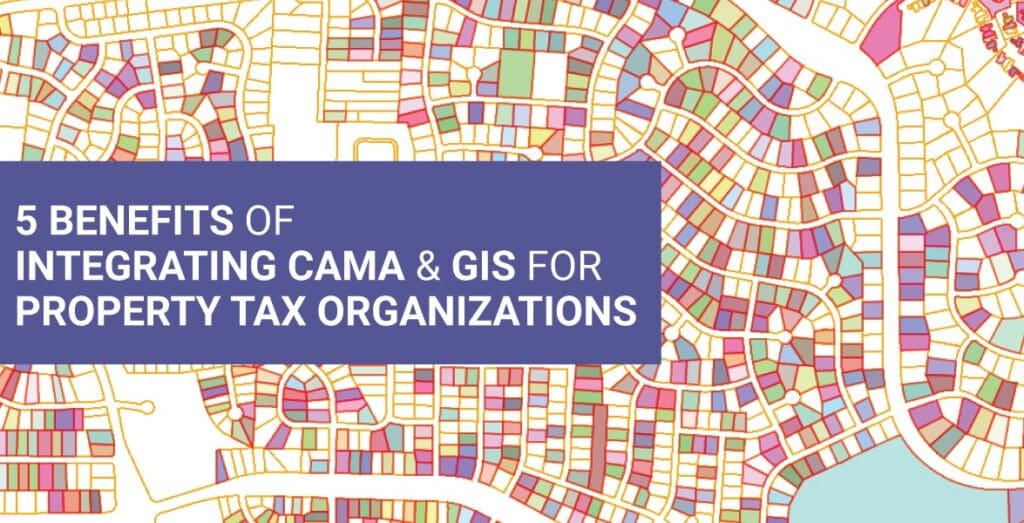
Your appraisers already have access to a whole host of data they need to do their work, but that data lives in tables and databases and requires time, energy, and effort to access, digest, and incorporate into complex appraisal processes. Integrating your GIS system with your CAMA system gives your appraisers instant access — in one place and at one time — to all the data and perspectives they need. Spatial representations on maps that are pictorial, graphic, and color-coded, render that data to be more quickly, easily, and intuitively understandable.
Benefit #2: Comprehensive Context
With many CAMA systems, your appraisers must repeatedly take a series of steps to identify and select multiple properties with similar characteristics and associate them with the correct neighborhoods or market areas. With integrated CAMA and GIS systems that clearly and comprehensively display property, location, and map information in a single view, appraisers have all the information at their fingertips to see how any given property fits into its larger context — which is absolutely critical for accurate and equitable appraisals.
Benefit #3: Trend Discovery
With access to GIS mapping information along with what’s in the CAMA system, appraisers can more easily search for, find, and react or respond to important patterns or trends. Being able to look at swaths of properties and neighborhoods and immediately see where there may be increased sales, more new construction, or a cluster of appeals, for example, can help them take more insightful actions such as redistributing resources or re-examining underlying appraisal assumptions in a timely fashion.
Benefit #4: Consistency and Accuracy
When GIS mappers are tied into the CAMA system, they are always privy to the latest CAMA information when completing splits, combines, and other transactions. Their changes then flow directly into the CAMA system. This integration eliminates double manual entry of data — with its associated time and potential introduction of errors — and helps ensure the consistency, accuracy, and currency of the mapping information available to appraisers, taxpayers, and others.
Benefit #5: Productivity, Efficiency, and Data Integrity
For both appraisers and mappers, integrated CAMA and GIS systems promote dramatic increases in productivity and efficiency. Real-time data sharing between CAMA and GIS eliminates redundant tasks, saves time and resources, and provides up-to-date information that appraisers need to value properties and mappers need to update the maps and data that feed into those valuations.
Additionally, the integrated systems build in data quality and integrity checks, reducing manual data entry errors and the potential for costly mistakes. Which ultimately means that both appraisers and mappers can more confidently act upon the information presented by their integrated systems.
To Recap
Organizations that still have siloed CAMA and GIS systems are missing out on their full potential. Integrating these systems provides and promotes:
• Data visualization
• Comprehensive context
• Trend discovery
• Consistency and accuracy
• Productivity, efficiency, and data integrity
In the short term, these positive benefits impact both your appraisers and mappers most directly. In the medium- and long-term, they are reflected throughout the organization in increased operational effectiveness and ultimately help ensure accuracy, equity, and timeliness for the taxpayers your organization serves.
If you’re interested in learning more about the benefits of integrating your CAMA and GIS systems or how best to start on the path to integration, to ensuring that 2 + 2 adds up to more than 4, reach out to us here. We want to help your organization achieve its full potential.


Hello Vijay,
I am curious how do I discover what parcels are linked to a parcel (in tax)?
In Farragut’s software, there is a common Parcel Identifier field that helps to uniquely identify list of parcels linked to the tax system. Data is synchronized when Parcel Ids are created/updated.